Source-linked reading guide · Planning guide
Hiking Japan's National Parks by Level: Gentle Walks to 3,000-Metre Peaks
登山レベル別ガイド
The same park system contains a marsh crossed on flat boardwalks and traverses above 3,000 metres, and the difference matters more than fitness alone — it is about weather windows, hut bookings, bear country and how much margin a route leaves when things go wrong. This guide grades the walking in Japan's national parks into four levels using the parks' own terrain, and names the best park for each level. It deliberately gives no route details, timings for individual trails or route maps: for those, use the official park pages and visitor centres linked from each park guide. Mountain safety is a live, local matter and this site is not live. Compiled from the park guides in this collection; check official notices for current conditions before travelling.
Level 1 — boardwalks, lakesides and valley floors
Oze's marsh boardwalks, the Kushiro wetland viewpoints, Kamikochi's valley floor in Chubu-Sangaku, the Oirase stream path in Towada-Hachimantai and Kerama's beaches ask for ordinary shoes and ordinary care, and give back some of the finest scenery in the system. These are the right first walks for families, photographers and anyone returning to the hills.
Level 1 does not mean risk-free: boardwalks ice over, marsh weather turns, and Oze and Kushiro are bear country. Stay on the boardwalks — the marsh plants beside them take years to recover from one footprint.
Level 2 — shrine mountains and single-peak days
A step up: Mount Mitake and the Chichibu ridges, Togakushi's shrine avenue and Mount Togakushi in Myoko-Togakushi Renzan, Mount Daisen, Mount Yoshino and the Kumano Kodo sections in Yoshino-Kumano, and the Goshikinuma walks in Bandai-Asahi. These are proper mountain days on marked paths — boots, water, a map from the visitor centre and an early start — within the reach of any regular walker.
Kumano Kodo deserves a special note: its pilgrim paths link villages and guesthouses, so it is the best Level 2 walking in Japan for travellers who want several days on foot without carrying camping gear.
Level 3 — the alpine parks
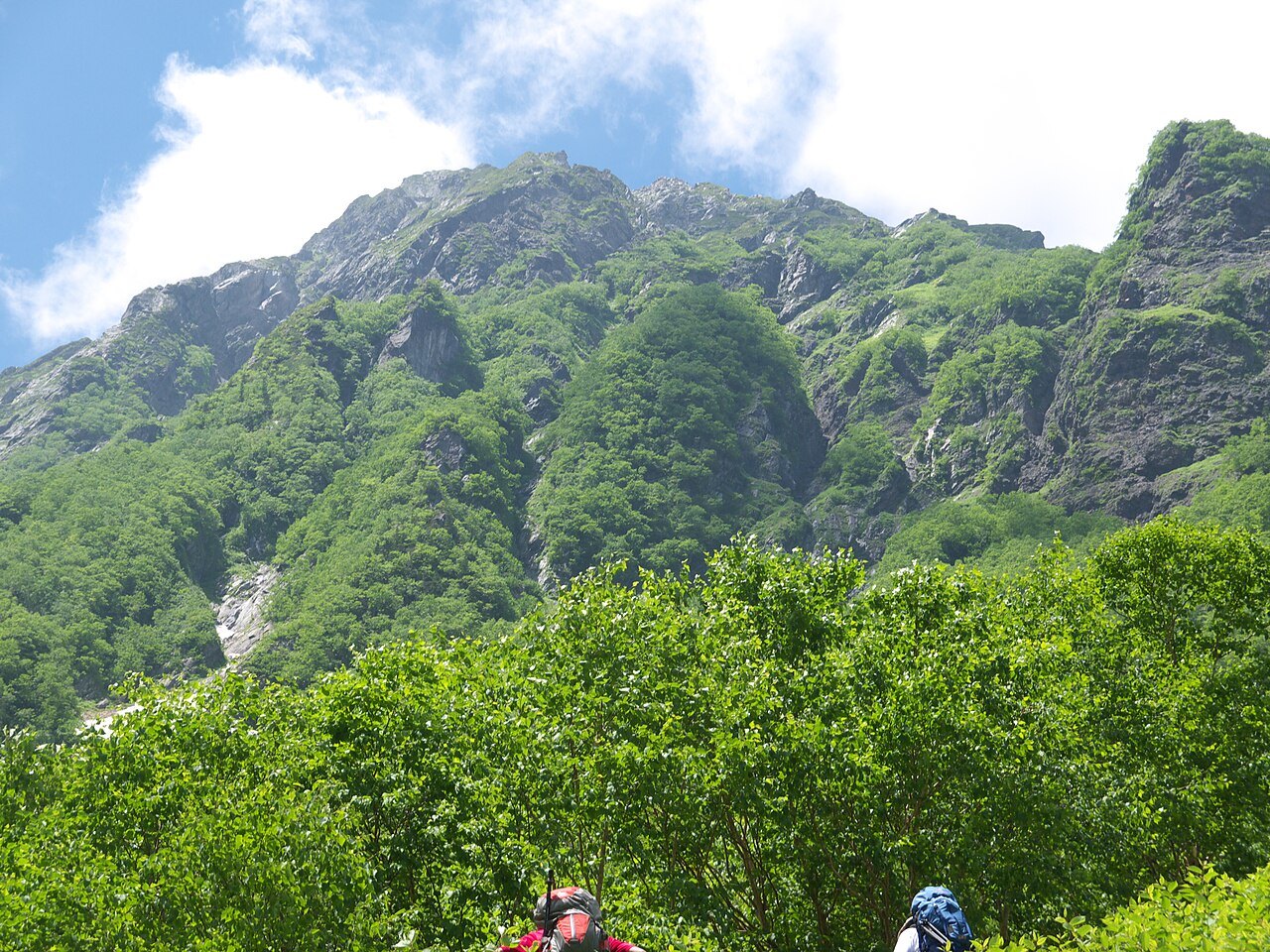
Chubu-Sangaku beyond Kamikochi (the Hotaka and Tateyama ranges), Hakusan, Daisetsuzan's plateau, Mount Fuji in season, and Mount Myoko are alpine walking: huts or tents, weather that can close in within the hour, snow patches into summer and, on Fuji, real altitude. The season is short — roughly July to early October, narrower for Fuji — and huts on popular routes book out.
Go with mountain experience or not at all: file a hiking plan, carry the ten essentials, and turn back on schedule, not on summit fever. Volcanic parks on this list (Fuji, Hakusan, Myoko) also require checking current volcanic information before the trip.
Level 4 — remote and expert ground
The Minami Alps chain, the Hidaka range in Japan's newest park (long approaches, river crossings, Mount Poroshiri), Shiretoko's Mount Rausu and the Daisetsuzan grand traverse are expert ground: multi-day, self-reliant, and in the Hidaka and Shiretoko cases deep in brown-bear country. These routes appear here so that nobody mistakes them for Level 2 days — they are expeditions to prepare for with official maps, local advice and generous margins.
At every level the same rules hold: check the official park page and weather before you go, tell someone your plan, respect closures (volcanic, wildlife and storm damage closures are common and enforced), and remember that conditions on this site are a dated snapshot, never live information.
At a glance
| Parks featured | Oze, Chichibu Tama Kai, Chubu-Sangaku, Hakusan, Daisetsuzan, Fuji-Hakone-Izu, Minami Alps and Hidakasanmyaku-Erimo-Tokachi |
|---|---|
| Best for | Walkers choosing parks by difficulty |
| Season / timing | Alpine levels July to early October; low levels year-round |
| Starting points | Nationwide |
| Good to know | This guide grades terrain only; it gives no trail routes or timings — use official park pages and visitor centres for those |